|
|
|
|
|
|
|
|
|
|
|
|
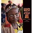
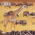
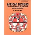
BOOKS ABOUT AFRICA & ANGOLA
|
|
|
|
|
|
|
|
|
|
|
|
|
|
|
|
 |
|
|
|
|
|
|
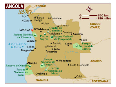
Angola Posters, Prints, Charts, Maps
teaching resources for social studies and geography classroom, home schoolers, travelers
|
geography > Africa > ANGOLA < social studies
|
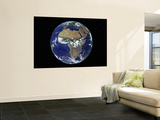
The Republic of Angola is a country in southern Africa bordered by Namibia on the south, the Democratic Republic of the Congo on the north, and Zambia on the east; its west coast is on the Atlantic Ocean with Luanda as its capital city. The exclave province of Cabinda has borders with the Republic of the Congo and the Democratic Republic of the Congo.
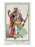
The Portuguese occupied the area of Angola for 400 years making the major religion in the country Christianity and the language Portuguese.
|
|
|
|
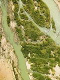
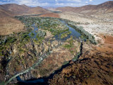
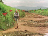
The Kunene (Cunene) River flows from the Angola highlands south to the border with Namibia, then flows west along the border until it reaches the Atlantic Ocean. It is one of the few perennial rivers in the region. The Epupa Falls are a tourist attraction.
|
|
|
|
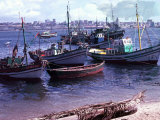
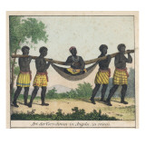
Luanda, formerly named São Paulo da Assunção de Loanda, is the capital and largest city of Angola. Located on Angola's coast with the Atlantic Ocean, Luanda is both Angola's chief seaport and its administrative center. It has a population of over 5 million. It is also the world's third most populous Lusophone (Portuguese-speaking) city, behind only São Paulo and Rio de Janeiro, both in Brazil.
|
|
|
|
|
|
|
|
|
|
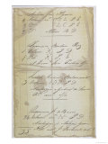
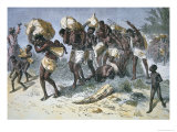
Part of a Bill of Lading for Slaves Exported from Luanda, Angola
|
|
|
|
|
|
|
|
|
previous page | top
|
|
I have searched the web for visual, text, and manipulative curriculum support materials - teaching posters, art prints, maps, charts, calendars, books and educational toys featuring famous people, places and events - to help teachers optimize their valuable time and budget.
Browsing the subject areas at NetPosterWorks.com is a learning experience where educators can plan context rich environments while comparing prices, special discounts, framing options and shipping from educational resources.
Thank you for starting your search for inspirational, motivational, and educational posters and learning materials at NetPosterWorks.com. If you need help please contact us.
|
|
|