|
|
Brazil Posters, Art Print, Charts, Photographs & Maps
for social studies classrooms, home schoolers, offices.
|
geography > South America > BRAZIL < social studies
|
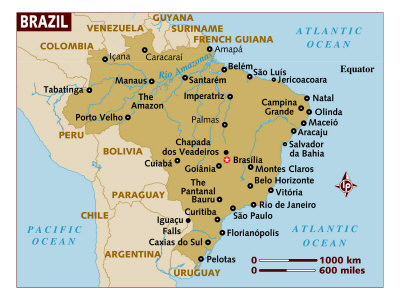
The Federative Republic of Brazil is located in central South America, bordering the Atlantic Ocean on the east, Guyana, Suriname, French Guiana, and Venezuela on the north, Colombia, Bolivia, and Peru on the west, and Uruguay, Argentina and Paraguay on the south. (Only Chile and Ecuador don't share a border with Brazil.)
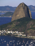
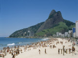
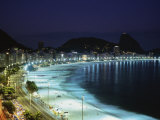
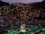
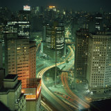
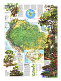
Brazil, the largest country in South America and the fifth largest country in the world by both population (China, India, US, Indonesia) and area (Russia, Canada, US, China), is known for its extensive low lying Amazon Rainforest in the north. Most of the population and agriculture is in the hills and low mountains of the south. Brasília, a planned city, is the capital; Sao Paulo is the largest city, and Rio de Janiero (the former capital) is well known as just “Rio”.
Portuguese explorers named the region Brazil after their word for “ember” (red, glowing), due to discovering a tree in the region similar to the European Brazilwood from which a red dye is derived.
|
|
|
|
|
|
|
|
|
|
|
|
|
|
|
|
|
|
|
Brasília, the capital of Brazil, was planned and developed in 1956. It was built in the Central-West region of the country and both acclaimed and derided for its grand scale modernist architecture and utopian city plan.
Lucio Costa was the city planner and Oscar Niemeyer was the architect. Saint Don Bosco, a Catholic priest and educator, inspired the planned city - in 1883 he dreamed of a futuristic city that roughly fitted Brasília's location.
FYI - other planned capital cities include Washington, D.C. and Canberra, Australia.
|
|
|
|
|
|
|
|
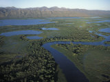
The Pantanal is a tropical wetland that lies mostly in Brazil and extends into Bolivia and Paraguay. It is an enormous inland river delta (see Botswana's Okavango Delta).
|
|
|
|
The Brazilian Cerrado is a tropical savanna. The World Wide Fund for Nature calls the Cerrado the richest savanna in the world.
The natural ecology of the Cerrado is currently very threatened by agricultural activities and fire beyond natural causes.
FYI ~ the word “cerrado” means “closed” or “inaccessible”.
• Norman Borlaug, agronomist
|
|
|
|
Iguazu Falls are actually some 275 separate falls and cataracts located on the border between Brazil & Argentina where the Iguazu River tumbles over the edge of the Paraná Plateau.
The Falls were declared a Natural Heritage of Mankind by UNESCO in 1986.
• more National Parks posters
|
|
|
|
|
|
previous page | top
|
|
I have searched the web for visual, text, and manipulative curriculum support materials - teaching posters, art prints, maps, charts, calendars, books and educational toys featuring famous people, places and events - to help teachers optimize their valuable time and budget.
Browsing the subject areas at NetPosterWorks.com is a learning experience where educators can plan context rich environments while comparing prices, special discounts, framing options and shipping from educational resources.
Thank you for starting your search for inspirational, motivational, and educational posters and learning materials at NetPosterWorks.com. If you need help please contact us.
|
|
|
|


